| CLIENT & COUNTRY | SUMMARY PROJECT DESCRIPTION | |
 GEO-Resources (GRC), Oman  | Since year-2016 he has been engaged sporadically by GRC as a Consultant on the following projects: · Flood Risk Assessment of the Al Irfan Phase One Development. In support of their BREEAM Accreditation application, flood frequency analyses and calculation of Design Flood Peaks were made using: Flood Frequency Curves for Oman (FFCO); Peak over Threshold (POT); Mean Annual Flood Method (MAFM); and, the Rational Method (RM). This study included construction of a Unit Hydrograph from Cyclone Gonu data to calculate Design Flood Volumes, HEC-RAS to visualise the area of flood inundation, and the calculation of water and object tipping forces to make a damage assessment of extreme flood events. Potential changes in flood risk resulting from climate change were also documented. · Sector D, Al Mouj Flood Risk Assessment. In support of their BREEAM Accreditation application, a Flood Risk Assessment of this development area was undertaken using a similar methodology adopted for the Al Irfan Project, but with the added complication of including an assessment of flood risks to Muscat International Airport. · An Aquifer Assessment for Be’ahs Proposed Landfill on the Batinah Plain. This involved the collection and review of data from various government agencies, an assessment of aquifer characteristics, an analysis of groundwater levels and the groundwater flow system, the existing groundwater quality and a preliminary assessment of risk to downstream users. · A Hydrogeological Study Report” for Occidental of Oman Inc. (OXY). This report provides details the results of the pumping tests carried out during the Project. It provides an interpretation of the hydrology, geology, hydrogeology, a water balance and a conceptual model. With the aid of a model, these data were used to estimate the impact of pumping from the OXY wells on nearby farms. · A Soil and Groundwater Risk Assessment for HFI’s Concession Area. This included infiltration tests, soil and groundwater sampling and analysis, and identification of risk to a Wellfield Protection Area using UK Environment Agency guidelines. The software Consim was used to assess probable risk using the “Monte Carlo” approach. · Inception and Final Reports on behalf of the Al Bashayer Meat Company (S.A.O.C), which is planning an Integrated beef stock farm and processing plant in Southern Oman covering 9 km2. This project included drilling production wellfield layout, designs, specifications, costs, and an initial assessment of water resources and water quality. · A Groundwater Model and Feasibility Study on behalf of the A’Namaa Poultry Company SAOC, which is planning an Integrated Poultry Project in Northern Oman covering 31 km2 that will comprise a poultry farm and centralised processing plant ($150 million project). This involved developing a regional groundwater model covering 7514 km2, using the MODFLOW code (Visual MODFLOW Flex), to evaluate the long-term viability/ sustainability of this project and its impact on existing users. · A Soil and Groundwater Risk Assessment for PDO’s Concession Area (Phase-II). This included infiltration tests, soil and groundwater sampling and analysis, and identification of probable risk at 15 Production and Fuel Stations using UK Environment Agency guidelines. · Inception and Feasibility Reports” on behalf of the O’Sool Poultry Company SAOC, which is planning an Integrated Poultry Project covering 47 km2 in Southern Oman. This project included drilling several artesian wells, production wellfield layout, designs, specifications, costs, an assessment of water resources and water quality, and the sustainability of the project over a 30-year time frame. | |
GRC, Oman | Years 2013 to 2016. He was employed as the Manager/ Principal Consultant responsible for the Water Resources, Geology and Surveying Department. Work included client liaison, writing and editing proposals and reports, directing and co-ordinating the efforts of personnel in GRC. Over a 3-year period he was responsible for provision of ~140 proposals and ~70 project deliverables. Technical work included site selection (using ERT and TDEM surveys) and design of beach and water supply wells, the introduction of impact assessment procedures (EA Level 1 to 3 techniques) for slurry pits, landfills and evaporation ponds (Landsim and Consim), groundwater modelling (Modflow), mining projects (geological mapping, physical and chemical tests, and reserve estimation for Manganese, Chromite, Limestone, Marble and Gabbro operations), geotechnical investigations (slope stability), and technologies for topographic surveys (combined land and UAV surveys). | |
GRC, Oman | Years 2013 & 2016. He was engaged on a joint Diwan of Royal Court/ Ministry of Regional Municipalities and Water Resources project to investigate groundwater resources to irrigate date palms in the Al-Dhahirah Governorate of the Sultanate of Oman. This Phase-2 project formed part of a series of investigations intended to plant 1 million date palms. Ashworth’s responsibilities included drilling and aquifer test scheduling, site selection, technical advice, catchment and water resource assessment with aid of GIS, preparation of a date farm development plan, and reporting. | |
GRC, Oman  | Years 2007 & 2008. He worked for GRC, on behalf of the Ministry of Regional Municipalities and Water Resources (MRMWR), on a project designed to investigate groundwater resources for irrigated agriculture and settlements in Tertiary to Cambrian aged aquifers in the Dhofar Governorate. He was employed to interpret existing hydrological and hydrogeological information and new data collected during the drilling, testing and sampling of 90 project boreholes, to collate these data onto GIS databases and write a report detailing the water balance, water quality and groundwater resources of Dhofar. Interesting technologies employed on this project included the analysis of 14C, oxygen (16O/18O), deuterium (2H) and strontium (87Sr/86Sr) isotope data. | |
BCEOM, Oman | Years 2006 & 2007. He worked for BCEOM on a project designed to investigate the feasibility of abstracting large volumes (9000 m3/hr) of groundwater from beach wells for a desalination plant located in Sur. This project was funded by Veolia Water. His responsibilities included the preparation of specifications and contract documents for drilling and testing these wells. He selected contractors, liaised with government agencies, implementing the award of these contracts, and assisting BCEOM in the investigation, testing and development of these resources. | |
GRC, Oman  | Years 2005 & 2006. He worked on three exploration drilling and aquifer testing projects in Northern Oman for GRC on behalf of MRMEWR. The main objectives of these Projects were to evaluate the extent of brackish and fresh groundwater resources in the Massarat, Batinah and Musandam Regions of Oman with a view to using this water for agriculture and town water supplies. Mr Ashworth collated existing borehole data, Landsat ETM images, DTEM data, geological and structural information and data from surface geophysics (TDEM) onto a GIS database and identified exploration areas. Mr Ashworth’s other responsibilities included: providing borehole designs; supervising the collection, collation, analysis, interpretation and reporting of all drilling and testing data; liaison and supervision of the MRMEWR field teams, technical and professional personnel; training of personnel; and preparation of Final Reports describing Project objectives, activities, all hydrogeological analyses and interpretations, quantifying resources, and identifying potential wellfield areas and sustainable yields. | |
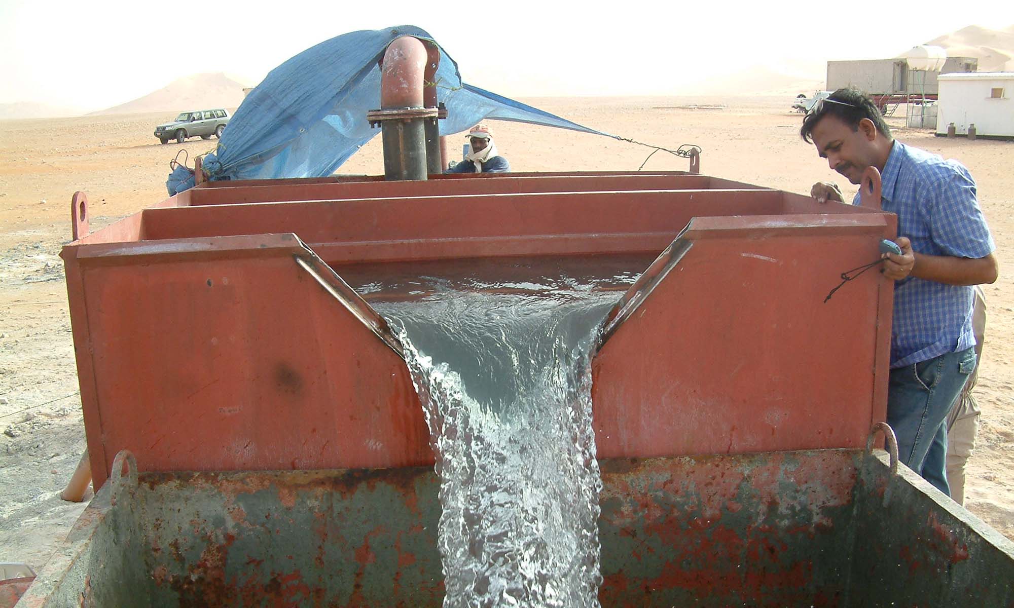
 GRC, Oman GRC, Oman  | Years 2003 & 2005. He provided hydrogeological advice for a groundwater exploration project in the Rub al Khali Desert. The main objectives of this project were to delineate and quantify fresh and useable brackish water resources, and determine locations for potential wellfields. Drilling targets were aquifers located in the Tertiary-aged Dammam, Rus and Umm er Radhuma Formations (UER). Overflowing artesian conditions (e.g. 92 L/sec at 4 bar) in the UER provided challenging drilling conditions. Formations, aquifers and thief zones were identified with the aid of foraminifera, lithological descriptions and downhole geophysics. Non-target aquifers and thief zones were cemented off with multiple steel casings to avoid run-away flows, head and flow losses, and deterioration of water quality. | |
  Ministry of Water Resources (MRW), Sultanate of Oman Ministry of Water Resources (MRW), Sultanate of Oman | Years 1991 to 1999. Engaged as a Hydrogeological Expert. Initially, in 1991, he worked for the Recharge Section of the MWR to help evaluate existing and proposed recharge schemes in Oman. These evaluations included an assessment of a catchment’s water balance, with and without scheme, using groundwater modelling (e.g. ModflowTM) and “accounting” techniques. In 1993 he became the Acting Project Manager for the Nejd Desert Assessment Programme, which was assigned with compiling a groundwater archive, installing a groundwater monitoring network, and estimating the volume of reserves and recoverable groundwater contained within aquifers of the Hadhramaut Group. In 1994 he joined the Technical Secretariat, which was tasked with writing and editing technical reports, developing assessment methodologies, evaluating external reports and providing assistance and advice to the D.G. In 1996 he was made the Project Manager for the Wahaybah Sands Assessment Programme, which was the largest drilling/ aquifer-testing contract ever undertaken by MWR. Mr Ashworth was responsible for running the Project, running a Regional Office, logistics and training, and was the main author of Project Reports. At the end of 1997 he was posted to Muscat to write a series of reports for the National Water Resources Master Plan. | |
| Assignments Prior to Year-1990 are not included |

Consulting Services